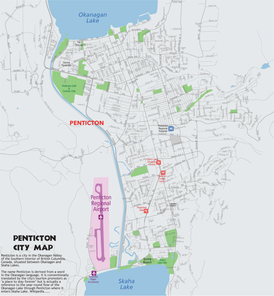
County Mapping Project

The trickle of freelance map work which started in 2006 had become a perennial stream in 2007. The workload increased and I had to hire help through freelance sites. Well, that was the only option as I was not sure of continuous availability of projects. Then I got another big project of mapping 8 counties of South Carolina;Lexington, Richland, Calhaun, Orangeburg, Aiken, Sumter, Newberry and Saluda. After accepting the project, I realised to my horror that my upgraded system does not have enough RAM to handle the ESRI exported Illustrator file. But the client came up with a solution, he re-exported from ESRI into four parts. That did the trick....

Though now we had four files to handle but it was much easier to work on part files. This highlighted the memory management issues of Illustrator which even today is the sore issue with otherwise a very robust and versatile vector art software. The project involved cleaning, updating and re-spec the county maps. The GIS data from which the exports were done had many missing / misaligned features, some errors and even typos. The project was huge so I cannot post all the data here, however just a few screenshots of various cities at different zoom level are posted below....
Dentsville, Richland County, SC
Lake Carolina, Columbia, SC
Newberry City, SC
Newberry and Prosperity, SC
Oak Grove, Lexington County, SC
Pine Ridge, Lexington County, SC
This freelance project continued over many weeks, as the initial specifications were amended after almost one week of work. Well, it always happens; the specs get changed midway in many projects, even with highly established companies. The lesson learnt, have a flexible approach when dealing with your clients. And the lesson learnt in 2006 got repeated many times over in my freelance map making career of more than a decade. That is why cartography is more of art than science, and art does need frequent amendments and sometimes redoing from scratch.

Now most of these maps were made with Adobe Illustrator however we also use Inkscape. Most of freelance map makers want to cut costs and the best way is to use open source software too. But these software do not match up with proprietary software in terms of research and support. Thus for our major freelance map work We still use Adobe Illustrator CS6. And now we have added a GIS plugin Avenza Mapublisher 9.3 with LabelPro. This plugin can import GIS files like ESRI shp files, KML files into Illustrator. OSM data which is also available as shp files can also be imported with specified projection information. LabelPro, another Avenza utility is a handy tool to generate collision free text labels from the imported GIS data. This software has been a boon to our productivity though it carries a price tag of more than two grand, yes that is right, it costs more than $2000.