
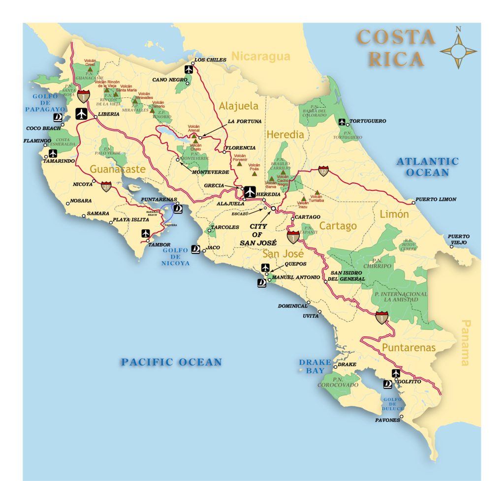
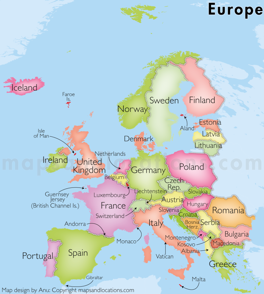
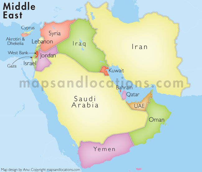
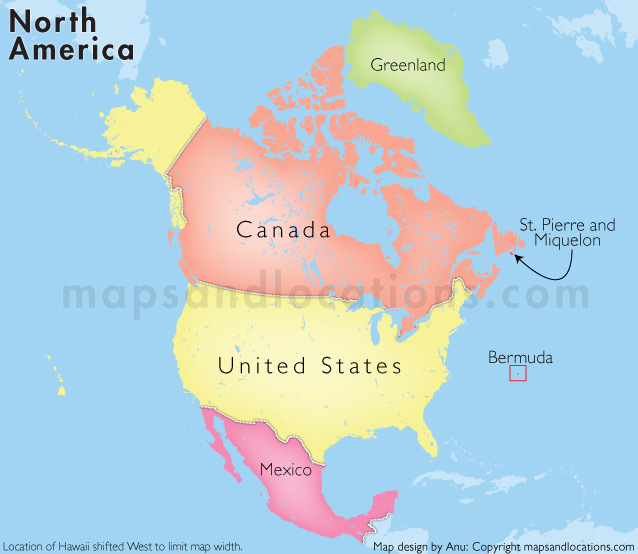
Country and Continent Maps
Our country and continent maps are designed for professional use, offering clarity and consistency for business, education, presentations, and publications.
What Our Country & Continent Maps Offer
- Clear national and regional boundaries
- Clean, readable labeling
- Consistent visual styles
- Suitable for print, presentation, and digital use
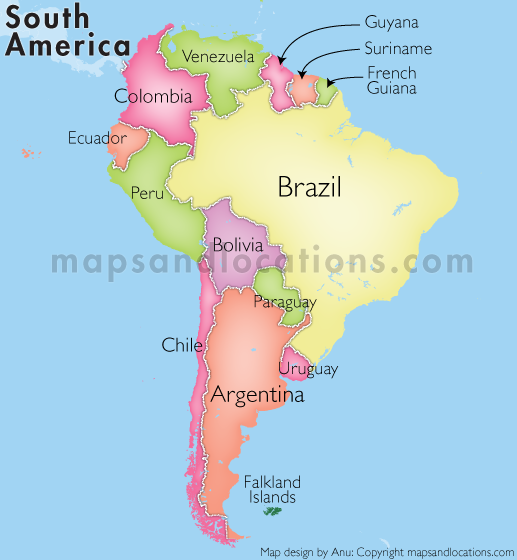
Coverage & Scope
We provide maps covering individual countries as well as entire continents. These maps can be used as standalone visuals or adapted to highlight specific regions, data points, or themes.
Common Use Cases
- Business reports and strategy documents
- Consulting and client presentations
- Educational and academic material
- Publications and visual communication
Need a Country or a Continent Map?
Let us know the country, region, or continent you need. We can provide ready-made or customized maps in the format that fits your requirements.